Pepperell Airport (26MA)
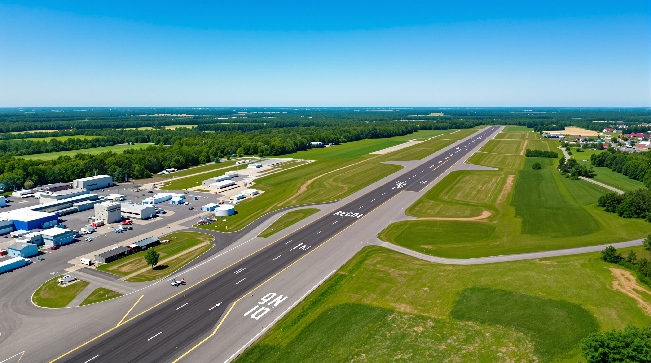
Pepperell Airport is a private-use general aviation airfield in the countryside of northeastern Massachusetts, FAA identifier 26MA. This independent guide gathers published information for pilots: the single runway, traffic patterns, and the daily glider and skydiving activity in the FAA airport record.
Airport Information
- Identifier: 26MA
- Location: Pepperell, Massachusetts (32 miles NW of Boston)
- Unicom Frequency: 123.05 MHz
- Boston Center: 123.75 MHz
- Coordinates: 42°41'46.3"N, 71°33'00.2"W
- Elevation: 176 feet MSL
Runway Information
Pepperell Airport features a single asphalt runway designed for general aviation operations:
- Dimensions: 2,820 feet x 25 feet
- Surface: Asphalt in good condition
- Runway 06: Left-hand traffic pattern
- Runway 24: Left-hand traffic pattern
- Pattern Altitude: 1,200 feet MSL until final
The FAA's airport record for 26MA, effective October 1 through October 29, 2026, lists glider and skydiving activity from 0800 to sunset daily. It identifies private use only and no air traffic control tower. In the communications fields, Unicom is 123.05 MHz and CTAF, or Common Traffic Advisory Frequency, is listed as none. The activity remarks cover both gliders and skydiving during the same daily period. These entries describe published airport information, not a live traffic report. The FAA airport record separates activity remarks from communications entries.
Parking and Services
Where to park or tie down at a private-use field is arranged with airport management as part of prior permission. This guide does not list rates or services, which the airport sets and can change.
When the Field Is Busy
The FAA airport record lists the field as attended from 0800 to dusk, and its remarks put glider and skydiving activity in a daily 0800-to-sunset window. Plan any daylight arrival on the assumption that parachutists may be in the air.
According to Federal Aviation Administration guidelines for private airports, all visiting pilots must obtain prior permission before landing. Permission comes from airport management; Unicom 123.05 MHz is the frequency to monitor for current conditions on arrival.
Location and Access
Located in northern Middlesex County, Massachusetts, Pepperell Airport is within reach of the greater Boston metropolitan area while remaining a private-use field. The airport is easily accessible from Route 119 and Interstate 495.
Because the field is private use only, it is not a drop-in alternate for cross-country flights around busy Class B and C airspace. Any landing needs prior permission arranged in advance.
Seasonal Considerations
New England weather presents unique challenges for general aviation pilots operating at Pepperell Airport. Spring and fall offer the most favorable flying conditions, with stable air masses and excellent visibility across the Merrimack Valley. Summer months bring increased traffic volumes alongside occasional afternoon convective activity, while winter operations require careful attention to icing conditions, reduced daylight hours, and the frozen precipitation common to northeastern Massachusetts.
Pilots should factor in density altitude during warm summer days, as the 2,820-foot runway requires careful performance planning for higher gross weight operations. Cold weather operations at the field's 176-foot MSL elevation rarely present density altitude concerns, but taxiway and ramp surface conditions should always be verified before departure during winter months.
Preparing for Your Visit
First-time visitors to Pepperell Airport should plan ahead. Obtain prior permission well before your intended arrival date, check current NOTAMs, and review the daily skydiving activity listed in the FAA airport record. Carrying a handheld radio as backup communication is advisable, and reviewing the current New York sectional chart for the latest airspace depictions around the Class B corridor ensures a smooth approach and departure.